
Chaine topographic map
Interactive map
Click on the map to display elevation.
About this map
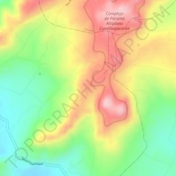
Name: Chaine topographic map, elevation, terrain.
Location: Chaine, Soracá, Boyacá, Colombie (5.50516 -73.29763 5.52516 -73.27763)
Average elevation: 3,036 m
Minimum elevation: 2,918 m
Maximum elevation: 3,149 m