
Huallaga topographic map
Interactive map
Click on the map to display elevation.
About this map
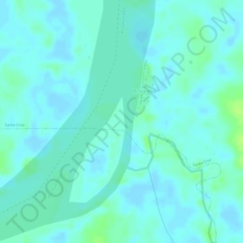
Name: Huallaga topographic map, elevation, terrain.
Location: Huallaga, Yurimaguas, Alto Amazonas, Loreto, Perú (-5.64936 -75.95767 -5.62934 -75.94740)
Average elevation: 121 m
Minimum elevation: 117 m
Maximum elevation: 130 m
Other topographic maps
Click on a map to view its topography, its elevation and its terrain.
Plaza de Armas
Perú > Loreto > Yurimaguas
Plaza de Armas, Yurimaguas, Alto Amazonas, Loreto, Perú
Average elevation: 137 m