
Atacama Large Millimeter/submillimeter Array topographic map
Click on the map to display elevation.
Atacama Large Millimeter/submillimeter Array
The Atacama Large Millimeter/submillimeter Array (ALMA) is an astronomical interferometer of 66 radio telescopes in the Atacama Desert of northern Chile, which observe electromagnetic radiation at millimeter and submillimeter wavelengths. The array has been constructed on the 5,000 m (16,000 ft) elevation Chajnantor plateau - near the Llano de Chajnantor Observatory and the Atacama Pathfinder Experiment. This location was chosen for its high elevation and low humidity, factors which are crucial to reduce noise and decrease signal attenuation due to Earth's atmosphere. ALMA is expected to provide insight on star birth during the early Stelliferous era and detailed imaging of local star and planet formation.
About this map
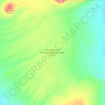
Name: Atacama Large Millimeter/submillimeter Array topographic map, elevation, terrain.
Average elevation: 5,010 m
Minimum elevation: 4,919 m
Maximum elevation: 5,164 m