Geolocate

Ralston topographic map

Click on the map to display elevation.

About this map

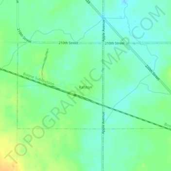
Name: Ralston topographic map, elevation, terrain.

Location: Ralston, Carroll County, Iowa, 51459, United States (42.03464 -94.64853 42.04917 -94.60983)

Average elevation: 342 m

Minimum elevation: 331 m

Maximum elevation: 360 m

Gear up for your next adventure:

👟Sport Hiking Sandals - Breathable footwear for water crossings and camp rest
🥾Trail Hiking Boots - Supportive boots for rough trails
🩹Moleskin Blister Pads - Direct protection for painful foot pressure points
🦟Insect Repellent - Keep mosquitoes and black flies away in wooded areas
🧴Waterproofing Spray - Restore the DWR coating on jackets and tents

As an Amazon Associate, this site earns from qualifying purchases at no extra cost to you.