Geolocate

Rawabi topographic map

Click on the map to display elevation.

About this map

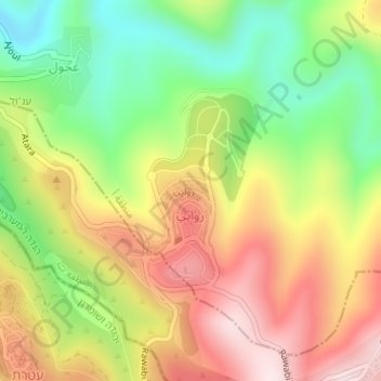
Name: Rawabi topographic map, elevation, terrain.

Location: Rawabi, Area A, West Bank, Palestinian Territory (32.00663 35.18643 32.02048 35.19614)

Average elevation: 610 m

Minimum elevation: 399 m

Maximum elevation: 829 m

Gear up for your next adventure:

🔥Camping Stove - Portable stoves to cook outdoors with ease
🥾Hiking Boots - Sturdy boots providing ankle support and traction on rugged trails
🔦UV Flashlight - Detect minerals or specific insects in the dark
👟Leg Gaiters - Keep debris, mud, and snow out of your boots
🔋Solar Power Bank - Keep your GPS and devices charged during long outdoor trips

As an Amazon Associate, this site earns from qualifying purchases at no extra cost to you.