Geolocate

Pandanon topographic map

Click on the map to display elevation.

About this map

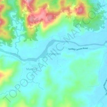
Name: Pandanon topographic map, elevation, terrain.

Location: Pandanon, Tandag, Surigao del Sur, Caraga, Philippines (9.03252 126.11854 9.07252 126.15854)

Average elevation: 59 m

Minimum elevation: 3 m

Maximum elevation: 237 m

Gear up for your next adventure:

Lightweight Camping Tent - Portable shelter optimized for Canadian backcountry camping
🔦LED Headtorch - Bright and durable light for night activities
🔭Outdoor Binoculars - Lightweight binoculars for birdwatching and hiking
🛶Kayak Accessories - Essential gear for safe and fun kayaking adventures
🔪Outdoor Multitool - Versatile tool for repairs and food prep in the wild

As an Amazon Associate, this site earns from qualifying purchases at no extra cost to you.