
Cruz Grande topographic map
Interactive map
Click on the map to display elevation.
About this map
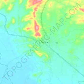
Name: Cruz Grande topographic map, elevation, terrain.
Location: Cruz Grande, Florencio Villarreal, Guerrero, México (16.68333 -99.17111 16.76333 -99.09111)
Average elevation: 53 m
Minimum elevation: 6 m
Maximum elevation: 233 m