
Falcon Creek Park topographic map
Interactive map
Click on the map to display elevation.
About this map
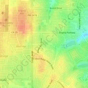
Name: Falcon Creek Park topographic map, elevation, terrain.
Location: Falcon Creek Park, McKinney, Collin County, Texas, USA (33.19853 -96.72978 33.20118 -96.72740)
Average elevation: 228 m
Minimum elevation: 203 m
Maximum elevation: 243 m
Other topographic maps
Click on a map to view its topography, its elevation and its terrain.
Heard Natural Science Museum & Wildlife Sanctuary
Heard Natural Science Museum & Wildlife Sanctuary, Wood Duck Trail, McKinney, Collin County, Texas, 75609, USA
Average elevation: 179 m