
Llaima topographic map
Interactive map
Click on the map to display elevation.
About this map
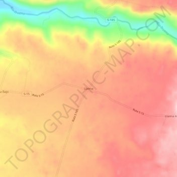
Name: Llaima topographic map, elevation, terrain.
Location: Llaima, Provincia de Cautín, Region IX Araukanien, Chile (-38.61746 -72.21049 -38.57746 -72.17049)
Average elevation: 333 m
Minimum elevation: 202 m
Maximum elevation: 401 m