
Thank you for supporting this site ❤️
Make a donation
Make a donation
Gear up for your next adventure:
As an Amazon Associate, this site earns from qualifying purchases at no extra cost to you.
Pervyse topographic map
Click on the map to display elevation.
Thank you for supporting this site ❤️
Make a donation
Make a donation
Gear up for your next adventure:
As an Amazon Associate, this site earns from qualifying purchases at no extra cost to you.
About this map
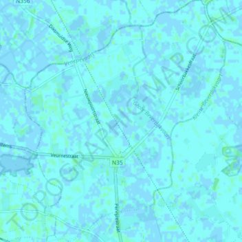
Name: Pervyse topographic map, elevation, terrain.
Location: Pervyse, Dixmude, Flandre-Occidentale, Flandre, Belgique (51.05764 2.76600 51.10340 2.82645)
Average elevation: 1 m
Minimum elevation: -2 m
Maximum elevation: 4 m
Thank you for supporting this site ❤️
Make a donation
Make a donation
Gear up for your next adventure:
As an Amazon Associate, this site earns from qualifying purchases at no extra cost to you.