
Maksi topographic map
Interactive map
Click on the map to display elevation.
About this map
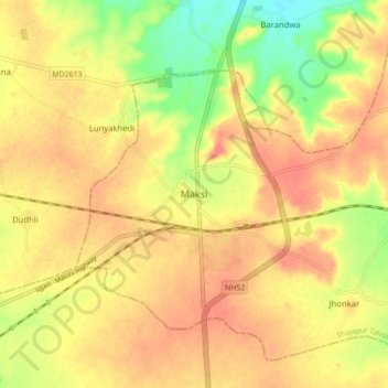
Name: Maksi topographic map, elevation, terrain.
Location: Maksi, Shajapur Tahsil, Shajapur, Madhya Pradesh, 465106, Inde (23.21870 76.10674 23.29870 76.18674)
Average elevation: 507 m
Minimum elevation: 475 m
Maximum elevation: 525 m