Geolocate

Pangri Bk topographic map

Click on the map to display elevation.

About this map

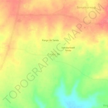
Name: Pangri Bk topographic map, elevation, terrain.

Location: Pangri Bk, Mantha, Jalna, Maharashtra, 431504, India (19.70377 76.41358 19.74377 76.45358)

Average elevation: 514 m

Minimum elevation: 470 m

Maximum elevation: 543 m

Other topographic maps

Click on a map to view its topography, its elevation and its terrain.

Mantha

India > Maharashtra > Mantha

Average elevation: 488 m

Gear up for your next adventure:

🥾Trekking Poles - Adjustable trekking poles to reduce knee stress and improve stability
🛰️Satellite Messenger - Emergency communication for areas with no cell service
💧Hydration Bladder - Hands-free hydration solution for long treks
🔭Compact Binoculars - Lightweight optics for scouting trails and wildlife
🪑Ultralight Camping Stool - Compact seating for rest stops during long hikes

As an Amazon Associate, this site earns from qualifying purchases at no extra cost to you.