
Ban Huai Duea topographic map
Interactive map
Click on the map to display elevation.
About this map
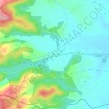
Name: Ban Huai Duea topographic map, elevation, terrain.
Location: Ban Huai Duea, Nong Bua Lam Phu Province, Thailand (17.22521 102.50382 17.26521 102.54382)
Average elevation: 265 m
Minimum elevation: 225 m
Maximum elevation: 375 m