
San Antero topographic map
Interactive map
Click on the map to display elevation.
About this map
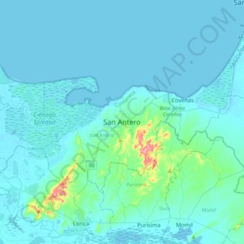
Name: San Antero topographic map, elevation, terrain.
Location: San Antero, Costanera, Córdoba, Colombia (9.33302 -75.79951 9.41302 -75.71951)
Average elevation: 42 m
Minimum elevation: -1 m
Maximum elevation: 231 m