
Mazueco topographic map
Interactive map
Click on the map to display elevation.
About this map
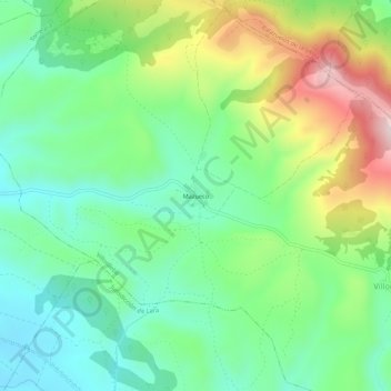
Name: Mazueco topographic map, elevation, terrain.
Location: Mazueco, Villoruebo, Бургос, Кастилия и Леон, 09646, Испания (42.15750 -3.48929 42.19750 -3.44929)
Average elevation: 1,135 m
Minimum elevation: 1,000 m
Maximum elevation: 1,399 m