Geolocate

Jyotisar topographic map

Click on the map to display elevation.

About this map

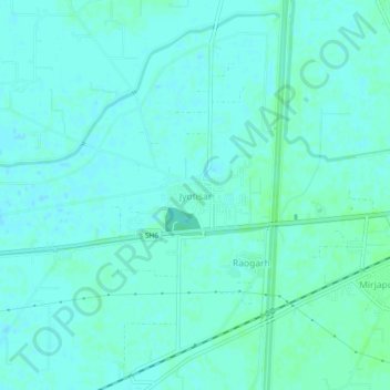
Name: Jyotisar topographic map, elevation, terrain.

Location: Jyotisar, Thanesar, Kurukshetra, Haryana, 136119, India (29.94352 76.75183 29.98352 76.79183)

Average elevation: 253 m

Minimum elevation: 250 m

Maximum elevation: 256 m

Other topographic maps

Click on a map to view its topography, its elevation and its terrain.

Chhilchhila WLS

India > Haryana > Thanesar

Average elevation: 250 m

Palwal

India > Haryana > Thanesar

Average elevation: 258 m

Gear up for your next adventure:

🥘Camping Cookware Set - Compact nesting pots and pans for trail cooking
🥾Waterproof Hiking Boots - Boots keeping your feet dry in wet conditions
🎒Hiking Backpack - Lightweight and ergonomic backpacks for day hikes or multi-day treks
🛶Canoe Life Vest - Safety vest for water sports
🥾Approach Boots - Comfortable boots for hiking and climbing approaches

As an Amazon Associate, this site earns from qualifying purchases at no extra cost to you.