Geolocate

Westcliffe topographic map

Click on the map to display elevation.

About this map

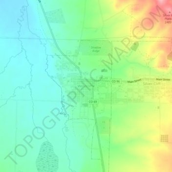
Name: Westcliffe topographic map, elevation, terrain.

Location: Westcliffe, Custer County, Colorado, 81252, United States (38.11472 -105.48584 38.15472 -105.44584)

Average elevation: 2,408 m

Minimum elevation: 2,365 m

Maximum elevation: 2,497 m

Gear up for your next adventure:

🥫Freeze-Dried Meals - Lightweight, high-calorie nutrition for multi-day treks
🔥Emergency Fire Starter - Reliable ignition source for all weather conditions
🥾Trail Hiking Shoes - Durable shoes designed for rugged trails
🧭Orienteering Kit - Tools for map reading and navigation in the wild
Lightweight Backpacking Tent - Compact tent for efficient hiking trips

As an Amazon Associate, this site earns from qualifying purchases at no extra cost to you.