Geolocate

Duthill topographic map

Click on the map to display elevation.

About this map

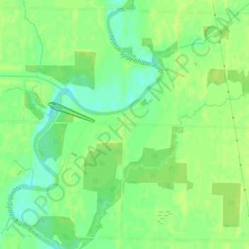
Name: Duthill topographic map, elevation, terrain.

Location: Duthill, St. Clair, Lambton County, Ontario, N0P 2R0, Canada (42.68136 -82.40165 42.70136 -82.38165)

Average elevation: 183 m

Minimum elevation: 173 m

Maximum elevation: 187 m

Gear up for your next adventure:

🛰️Satellite Messenger - Emergency communication for areas with no cell service
🧰Multitool Knife - Compact and versatile tool for outdoor use
🧴Sunscreen SPF - Broad-spectrum sunscreen for outdoor activities
🛶Kayak Dry Bag - Waterproof storage for kayaking adventures
🧣Evaporative Cooling Towel - Beat the heat during intense summer climbs

As an Amazon Associate, this site earns from qualifying purchases at no extra cost to you.