Geolocate

Laytonville topographic map

Click on the map to display elevation.

Laytonville

Laytonville is a census-designated place (CDP) in Mendocino County, California, United States. Laytonville, is located 20 miles (32 km) north-northwest of Willits, at an elevation of 1670 feet (509 m). The population was 1,227 at the 2010 census, down from 1,301 at the 2000 census.

Wikipedia (CC-BY-SA 3.0)

About this map

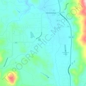
Name: Laytonville topographic map, elevation, terrain.

Location: Laytonville, Mendocino County, California, 95454, United States (39.65126 -123.52561 39.69425 -123.47414)

Average elevation: 536 m

Minimum elevation: 480 m

Maximum elevation: 777 m

Gear up for your next adventure:

🧳Compression Sacks - Maximize space in your backpack by shrinking gear
🔦UV Flashlight - Detect minerals or specific insects in the dark
🧰Multitool Knife - Compact and versatile tool for outdoor use
🥾Waterproof Trail Shoes - Shoes designed to handle wet terrain
🧥Fleece Jacket - Warm and lightweight jacket for layering

As an Amazon Associate, this site earns from qualifying purchases at no extra cost to you.