Geolocate

Santa Elena topographic map

Click on the map to display elevation.

About this map
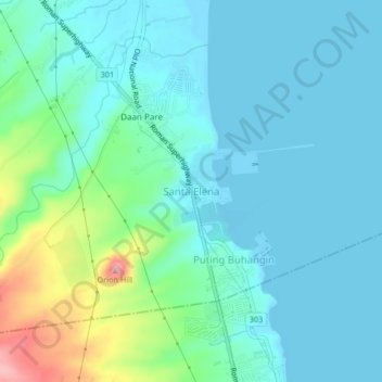
Name: Santa Elena topographic map, elevation, terrain.

Location: Santa Elena, Orion, Bataan, Central Luzon, 2102, Philippines (14.57212 120.56408 14.61212 120.60408)

Average elevation: 28 m

Minimum elevation: -2 m

Maximum elevation: 141 m

Gear up for your next adventure:

🧦Hiking Socks - Moisture-wicking and comfortable socks for long hikes
🧼Travel Hand Sanitizer - Keep hands clean when water is scarce
🥾Mountaineering Boots - Supportive boots for climbing and high-altitude hiking
🎒Backpack Rain Cover - External shield to keep your entire pack dry
💧Reusable Water Bottle - Durable water bottles for hydration on trails

As an Amazon Associate, this site earns from qualifying purchases at no extra cost to you.