Geolocate

Cholul topographic map

Click on the map to display elevation.

About this map

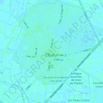
Name: Cholul topographic map, elevation, terrain.

Location: Cholul, Mérida, Yucatán, 97305, Mexico (21.02561 -89.57869 21.06323 -89.53343)

Average elevation: 9 m

Minimum elevation: 6 m

Maximum elevation: 11 m

Other topographic maps

Click on a map to view its topography, its elevation and its terrain.

Yucatán Country Club

Mexico > Yucatán > Mérida

Average elevation: 6 m

Gear up for your next adventure:

🥾Trail Hiking Shoes - Durable shoes designed for rugged trails
🥾Durable Hiking Shoes - Long-lasting shoes for frequent hiking
🧥Thermal Fleece Jacket - Versatile insulation for changing mountain temperatures
🧴Insect Repellent - Protect yourself from bugs during outdoor adventures
🥾Mountain Trail Shoes - High-traction shoes for mountain trails

As an Amazon Associate, this site earns from qualifying purchases at no extra cost to you.