
A Lưới topographic map
Interactive map
Click on the map to display elevation.
About this map
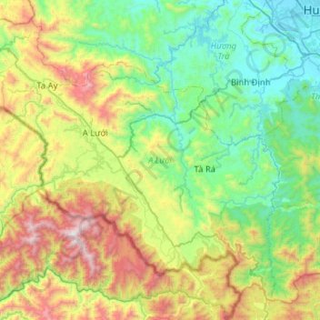
Name: A Lưới topographic map, elevation, terrain.
Location: A Lưới, Province de Thừa Thiên-Huế, Viêt Nam (16.01452 107.01621 16.44887 107.52926)
Average elevation: 581 m
Minimum elevation: 1 m
Maximum elevation: 2,028 m