Geolocate

Manzase topographic map

Click on the map to display elevation.

About this map

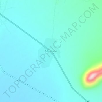
Name: Manzase topographic map, elevation, terrain.

Location: Manzase, Chamwino, Dodoma Region, Central Zone, Tanzania (-6.62821 35.90838 -6.58821 35.94838)

Average elevation: 938 m

Minimum elevation: 903 m

Maximum elevation: 1,180 m

Gear up for your next adventure:

🧭Orienteering Kit - Tools for map reading and navigation in the wild
🧦Hiking Socks - Moisture-wicking and comfortable socks for long hikes
Tent Footprint - Protect tent floor and increase durability
🥾Trekking Poles - Adjustable trekking poles to reduce knee stress and improve stability
🧢Beanie Hat - Keep your head warm in cold weather

As an Amazon Associate, this site earns from qualifying purchases at no extra cost to you.