
Caernarfon topographic map
Interactive map
Click on the map to display elevation.
About this map
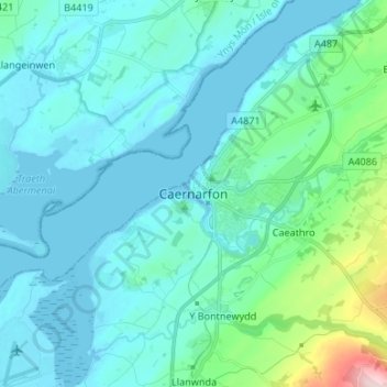
Name: Caernarfon topographic map, elevation, terrain.
Location: Caernarfon, Gwynedd, Gales, LL, Gran Bretaña (53.09944 -4.31698 53.17944 -4.23698)
Average elevation: 37 m
Minimum elevation: -1 m
Maximum elevation: 283 m