
Real de Catorce topographic map
Click on the map to display elevation.
Real de Catorce
Although in the southern range of the Chihuahuan desert, due to its elevation, Real can be very cool at night. Although days, particularly in summer, can be very hot, it is advised to always bring a jacket, even in summer.
About this map
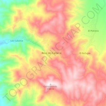
Name: Real de Catorce topographic map, elevation, terrain.
Location: Real de Catorce, Catorce, San Luis Potosí, Mexico (23.65022 -100.92617 23.73022 -100.84617)
Average elevation: 2,671 m
Minimum elevation: 2,048 m
Maximum elevation: 3,166 m