Geolocate

Nighasan topographic map

Click on the map to display elevation.

About this map

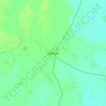
Name: Nighasan topographic map, elevation, terrain.

Location: Nighasan, Lakhimpur Kheri, Uttar Pradesh, 262903, India (28.19506 80.81974 28.27506 80.89974)

Average elevation: 143 m

Minimum elevation: 138 m

Maximum elevation: 148 m

Gear up for your next adventure:

🧢Beanie Hat - Keep your head warm in cold weather
🧢Outdoor Cap - Protective cap for sun and rain during hikes
🧳Compression Sacks - Maximize space in your backpack by shrinking gear
🚲Heavy Duty Bike Lock - Secure your bike at the trailhead or during stops
🛶Waterproof Dry Bags - Keep electronics and clothes dry during river crossings

As an Amazon Associate, this site earns from qualifying purchases at no extra cost to you.