
Maple Lane topographic map
Interactive map
Click on the map to display elevation.
About this map
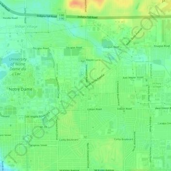
Name: Maple Lane topographic map, elevation, terrain.
Location: Maple Lane, Saint Joseph County, Indiana, 46617:46635, USA (41.68005 -86.23695 41.72005 -86.19695)
Average elevation: 229 m
Minimum elevation: 213 m
Maximum elevation: 250 m