
Rangareddy Palle topographic map
Interactive map
Click on the map to display elevation.
About this map
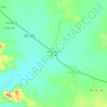
Name: Rangareddy Palle topographic map, elevation, terrain.
Location: Rangareddy Palle, Mahabubnagar, Telangana, Inde (16.91442 77.75883 16.95442 77.79883)
Average elevation: 503 m
Minimum elevation: 478 m
Maximum elevation: 564 m