
S. Pietro topographic map
Interactive map
Click on the map to display elevation.
About this map
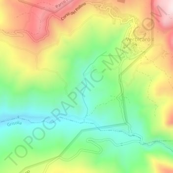
Name: S. Pietro topographic map, elevation, terrain.
Location: S. Pietro, Verbicaro, CS, CAL, 87020, Italia (39.74267 15.90222 39.75368 15.90716)
Average elevation: 366 m
Minimum elevation: 149 m
Maximum elevation: 662 m