
Harville topographic map
Interactive map
Click on the map to display elevation.
About this map
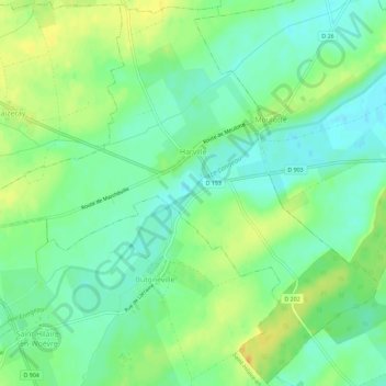
Name: Harville topographic map, elevation, terrain.
Average elevation: 211 m
Minimum elevation: 199 m
Maximum elevation: 227 m
Other topographic maps
Click on a map to view its topography, its elevation and its terrain.
Montée des Eaux
France > Grand Est > Meuse > Harville
Montée des Eaux, Harville, Verdun, Meuse, Grand Est, France métropolitaine, 55160, France
Average elevation: 210 m