
Shire topographic map
Interactive map
Click on the map to display elevation.
About this map
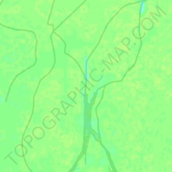
Name: Shire topographic map, elevation, terrain.
Location: Shire, Mutarara, Tete, Mozambique (-17.23986 35.25350 -17.19503 35.27399)
Average elevation: 32 m
Minimum elevation: 23 m
Maximum elevation: 34 m