Geolocate

Gintung topographic map

Click on the map to display elevation.

About this map

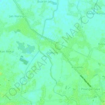
Name: Gintung topographic map, elevation, terrain.

Location: Gintung, Tangerang Regency, Banten, 15540, Indonesia (-6.11770 106.53491 -6.07770 106.57491)

Average elevation: 6 m

Minimum elevation: 1 m

Maximum elevation: 11 m

Gear up for your next adventure:

🧭GPS Outdoor Watch - Smart watch for navigation and fitness tracking in nature
👟Leg Gaiters - Keep debris, mud, and snow out of your boots
🔦LED Headtorch - Bright and durable light for night activities
🔭Compact Binoculars - Lightweight optics for scouting trails and wildlife
🏃Hydration Running Vest - Carry water and maps close to your body for speed

As an Amazon Associate, this site earns from qualifying purchases at no extra cost to you.