Geolocate

Falkville topographic map

Click on the map to display elevation.

About this map

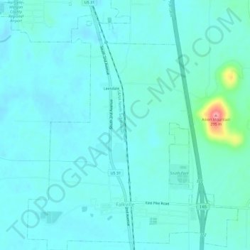
Name: Falkville topographic map, elevation, terrain.

Location: Falkville, Morgan County, Alabama, United States (34.36298 -86.92615 34.40432 -86.88609)

Average elevation: 187 m

Minimum elevation: 174 m

Maximum elevation: 279 m

Gear up for your next adventure:

🧴Waterproofing Spray - Restore the DWR coating on jackets and tents
🧦Hiking Socks - Moisture-wicking and comfortable socks for long hikes
🥾Mountaineering Boots - Supportive boots for climbing and high-altitude hiking
Lightweight Camping Tent - Portable shelter optimized for Canadian backcountry camping
🧥Waterproof Jacket - Lightweight rain jackets for hiking and outdoor activities

As an Amazon Associate, this site earns from qualifying purchases at no extra cost to you.