Geolocate

Chain-O-Lakes topographic map

Click on the map to display elevation.

About this map

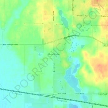
Name: Chain-O-Lakes topographic map, elevation, terrain.

Location: Chain-O-Lakes, Saint Joseph County, Indiana, United States (41.68838 -86.40001 41.72838 -86.36001)

Average elevation: 231 m

Minimum elevation: 215 m

Maximum elevation: 255 m

Gear up for your next adventure:

💧Collapsible Water Bottle - Space-saving water bottle for outdoor activities
Tent Footprint - Protect tent floor and increase durability
🛏️Sleeping Bag - Warm and compact sleeping bags for outdoor camping
🧦Crew Hiking Socks - Comfortable socks for long-distance hikes
🧊Insulated Water Bottle - Keeps drinks cold in summer and prevents freezing in winter

As an Amazon Associate, this site earns from qualifying purchases at no extra cost to you.