Geolocate

Grisoles topographic map

Click on the map to display elevation.

About this map
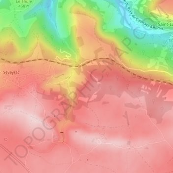
Name: Grisoles topographic map, elevation, terrain.

Location: Grisoles, Salles-la-Source, Rodez, Aveyron, Occitanie, France métropolitaine, 12330, France (44.41876 2.48191 44.43876 2.50191)

Average elevation: 520 m

Minimum elevation: 331 m

Maximum elevation: 608 m

Other topographic maps

Click on a map to view its topography, its elevation and its terrain.

12330

France > Occitanie > Aveyron > Salles-la-Source > La Roque Haute

Average elevation: 490 m

Gear up for your next adventure:

🧢Outdoor Visor - Breathable visor for sunny hikes
🥾Trail Hiking Boots - Supportive boots for rough trails
🥾Mountain Hiking Shoes - Shoes with superior grip for mountainous terrain
⛺Lightweight Camping Tent - Portable shelter optimized for Canadian backcountry camping
🧳Compression Sacks - Maximize space in your backpack by shrinking gear

As an Amazon Associate, this site earns from qualifying purchases at no extra cost to you.