
Waharaka topographic map
Interactive map
Click on the map to display elevation.
About this map
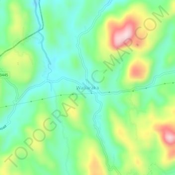
Name: Waharaka topographic map, elevation, terrain.
Location: Waharaka, Kegalle District, Sabaragamuwa Province, Sri Lanka (7.05639 80.17832 7.09639 80.21832)
Average elevation: 163 m
Minimum elevation: 50 m
Maximum elevation: 382 m