Geolocate

Tifton topographic map

Click on the map to display elevation.

About this map

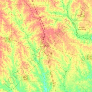
Name: Tifton topographic map, elevation, terrain.

Location: Tifton, Tift County, Georgia, 31794, United States (31.29228 -83.66969 31.61228 -83.34969)

Average elevation: 96 m

Minimum elevation: 64 m

Maximum elevation: 127 m

Gear up for your next adventure:

🕶️Polarized Sunglasses - Protect your eyes with durable polarized lenses
🥾Hiking Shoes - Durable and comfortable shoes for trail hiking
🧊Insulated Water Bottle - Keeps drinks cold in summer and prevents freezing in winter
🧢Hiking Sun Hat - Wide-brimmed protection for exposed mountain ridges
🪑Ultralight Camping Stool - Compact seating for rest stops during long hikes

As an Amazon Associate, this site earns from qualifying purchases at no extra cost to you.