Geolocate

Kuwari topographic map

Click on the map to display elevation.

About this map

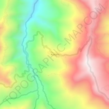
Name: Kuwari topographic map, elevation, terrain.

Location: Kuwari, Tolikara, Papua, Indonesia (-3.70068 138.42065 -3.66068 138.46065)

Average elevation: 1,626 m

Minimum elevation: 1,148 m

Maximum elevation: 2,097 m

Gear up for your next adventure:

🦯Trekking Poles - Reduced impact on joints for steep topographic climbs
🌡️Emergency Mylar Blankets - Compact thermal protection for unexpected nights outdoors
👖Convertible Hiking Pants - Zip-off legs to adapt to changing weather conditions
🥾Trail Hiking Shoes - Durable shoes designed for rugged trails
🧊Portable Cooler - Keep food and drinks cold during outdoor adventures

As an Amazon Associate, this site earns from qualifying purchases at no extra cost to you.