Geolocate

Barbura topographic map

Click on the map to display elevation.

About this map

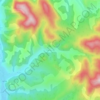
Name: Barbura topographic map, elevation, terrain.

Location: Barbura, Băița, Hunedoara, 337046, Romania (45.98555 22.88044 46.02555 22.92044)

Average elevation: 389 m

Minimum elevation: 215 m

Maximum elevation: 662 m

Gear up for your next adventure:

🧦Hiking Liner Socks - Thin base layer to prevent friction and blisters
🥽Outdoor Goggles - Protective eyewear for outdoor activities
💧Filtered Water Bottle - Safe drinking water on the go
🧊Insulated Water Bottle - Keeps drinks cold in summer and prevents freezing in winter
🔦LED Headlamp - Hands-free lighting for early morning starts or late finishes

As an Amazon Associate, this site earns from qualifying purchases at no extra cost to you.