
Make a donation
Gear up for your next adventure:
As an Amazon Associate, this site earns from qualifying purchases at no extra cost to you.
Jingpo Lake topographic map
Click on the map to display elevation.
Make a donation
Gear up for your next adventure:
As an Amazon Associate, this site earns from qualifying purchases at no extra cost to you.
Jingpo Lake
In the southern side of the lake, there are river deltas formed in the estuary of Mudan River and its tributaries. This topography supports a large number of plankton to survive, so it is suitable for the growth of fish. There are various kinds of freshwater fish in Jingpo Lake. The most famous one is Red-tailed fish, also known as White Cloud Mountain minnow (Tanichthys albonubes).
Make a donation
Gear up for your next adventure:
As an Amazon Associate, this site earns from qualifying purchases at no extra cost to you.
About this map
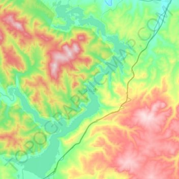
Name: Jingpo Lake topographic map, elevation, terrain.
Average elevation: 523 m
Minimum elevation: 290 m
Maximum elevation: 909 m
Make a donation
Gear up for your next adventure:
As an Amazon Associate, this site earns from qualifying purchases at no extra cost to you.