
Thank you for supporting this site ❤️
Make a donation
Make a donation
Gear up for your next adventure:
As an Amazon Associate, this site earns from qualifying purchases at no extra cost to you.
Arrones topographic map
Click on the map to display elevation.
Thank you for supporting this site ❤️
Make a donation
Make a donation
Gear up for your next adventure:
As an Amazon Associate, this site earns from qualifying purchases at no extra cost to you.
About this map
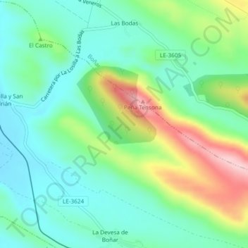
Name: Arrones topographic map, elevation, terrain.
Location: Arrones, Vegaquemada, León, Castille-et-León, 24850, Espagne (42.82465 -5.30819 42.84465 -5.28819)
Average elevation: 1,021 m
Minimum elevation: 954 m
Maximum elevation: 1,173 m
Thank you for supporting this site ❤️
Make a donation
Make a donation
Gear up for your next adventure:
As an Amazon Associate, this site earns from qualifying purchases at no extra cost to you.