Geolocate

Quispicancha topographic map

Click on the map to display elevation.

About this map

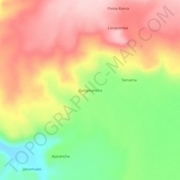
Name: Quispicancha topographic map, elevation, terrain.

Location: Quispicancha, Aucara, Lucanas, Ayacucho, Perú (-14.17975 -74.25333 -14.13975 -74.21333)

Average elevation: 4,114 m

Minimum elevation: 3,996 m

Maximum elevation: 4,213 m

Other topographic maps

Click on a map to view its topography, its elevation and its terrain.

Laguna Turpoccocha

Perú > Ayacucho > Aucara > Jatun Turpo

Average elevation: 4,235 m

Gear up for your next adventure:

🧴Outdoor Sunscreen - High SPF protection for high-altitude UV exposure
🧼Travel Hand Sanitizer - Keep hands clean when water is scarce
Camping Groundsheet - Protect your tent from moisture and dirt
🔨Vehicle Emergency Tool - Safety tool for remote road trips to trailheads
🧭GPS Handheld Device - Reliable GPS navigation for outdoor adventures

As an Amazon Associate, this site earns from qualifying purchases at no extra cost to you.