
Harir topographic map
Interactive map
Click on the map to display elevation.
About this map
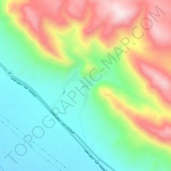
Name: Harir topographic map, elevation, terrain.
Location: Harir, بخش مرکزی, Dalahu County, Kermanshah Province, Iran (34.29221 46.18019 34.33221 46.22019)
Average elevation: 1,714 m
Minimum elevation: 1,493 m
Maximum elevation: 2,054 m