Geolocate

Balachandrapur topographic map

Click on the map to display elevation.

About this map

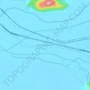
Name: Balachandrapur topographic map, elevation, terrain.

Location: Balachandrapur, Balichandrapur, Jajpur, Odisha, 754205, India (20.59238 86.21752 20.63238 86.25752)

Average elevation: 18 m

Minimum elevation: 9 m

Maximum elevation: 223 m

Gear up for your next adventure:

🏃Hydration Running Vest - Carry water and maps close to your body for speed
🌡️Emergency Mylar Blankets - Compact thermal protection for unexpected nights outdoors
🥾Mountain Hiking Shoes - Shoes with superior grip for mountainous terrain
🔦LED Flashlight - Powerful and long-lasting flashlight for camping and emergencies
🪑Insulated Seat Pad - Protect your seat from cold rocks and wet logs

As an Amazon Associate, this site earns from qualifying purchases at no extra cost to you.