Geolocate

Cheia topographic map

Click on the map to display elevation.

About this map

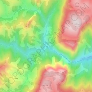
Name: Cheia topographic map, elevation, terrain.

Location: Cheia, Alba, 517593, Romania (46.27979 23.43534 46.31979 23.47534)

Average elevation: 839 m

Minimum elevation: 503 m

Maximum elevation: 1,208 m

Gear up for your next adventure:

🛏️Sleeping Bag - Warm and compact sleeping bags for outdoor camping
🥾Waterproof Hiking Boots - Essential footwear for rugged terrain and wet Canadian trails
🛏️Camping Sleeping Mat - Comfortable mats for sleeping outdoors
🧢Outdoor Visor - Breathable visor for sunny hikes
🧢Hiking Hat - Sun-protective and breathable hats for long treks

As an Amazon Associate, this site earns from qualifying purchases at no extra cost to you.