Geolocate

Semra topographic map

Click on the map to display elevation.

About this map

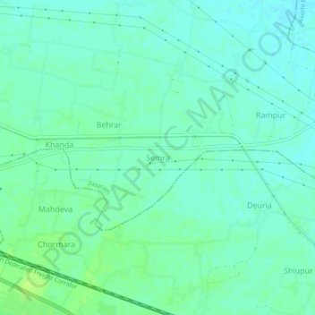
Name: Semra topographic map, elevation, terrain.

Location: Semra, Sasaram, Rohtas District, Bihar, 821305, India (24.93918 84.10549 24.97918 84.14549)

Average elevation: 107 m

Minimum elevation: 102 m

Maximum elevation: 114 m

Gear up for your next adventure:

🥾Lightweight Hiking Boots - Boots for comfort and mobility on long hikes
🥾Trekking Boots - Durable boots for long-distance trekking
💧Collapsible Water Bottle - Space-saving water bottle for outdoor activities
🧢Outdoor Cap - Protective cap for sun and rain during hikes
🦌Outdoor Trail Camera - Monitor wildlife activity near your favorite spots

As an Amazon Associate, this site earns from qualifying purchases at no extra cost to you.