Geolocate

Baneasa topographic map

Click on the map to display elevation.

About this map

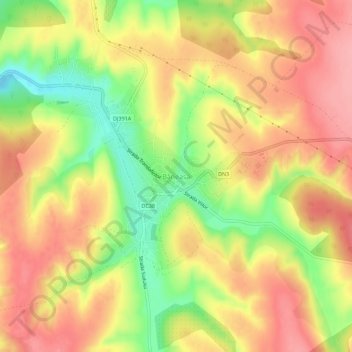
Name: Baneasa topographic map, elevation, terrain.

Location: Baneasa, Băneasa, Constanța, 907035, Romania (44.04477 27.68156 44.08477 27.72156)

Average elevation: 128 m

Minimum elevation: 63 m

Maximum elevation: 174 m

Gear up for your next adventure:

🔋Lithium AA Batteries - Long-lasting power that performs in extreme cold
👟Trail Running Shoes - Agile footwear for fast-paced topographic exploration
🧢Sun Protection Cap - Breathable cap to protect from sun exposure
🧶550 Survival Paracord - Versatile utility cord for emergency repairs and rigging
🥾Hiking Leggings - Comfortable leggings for outdoor activities

As an Amazon Associate, this site earns from qualifying purchases at no extra cost to you.