Geolocate

La Comba topographic map

Click on the map to display elevation.

About this map

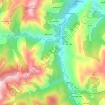
Name: La Comba topographic map, elevation, terrain.

Location: La Comba, Piloña, Asturias, España (43.26545 -5.44940 43.30545 -5.40940)

Average elevation: 508 m

Minimum elevation: 238 m

Maximum elevation: 842 m

Gear up for your next adventure:

🧶550 Survival Paracord - Versatile utility cord for emergency repairs and rigging
🧭GPS Tracker - Track your location in remote areas safely
🚲Bike Repair Kit - Essential tools for on-trail mechanical issues
🧥Waterproof Pants - Keep dry during rainy hiking conditions
🧢Outdoor Cap - Protective cap for sun and rain during hikes

As an Amazon Associate, this site earns from qualifying purchases at no extra cost to you.