
Thank you for supporting this site ❤️
Make a donation
Make a donation
Gear up for your next adventure:
As an Amazon Associate, this site earns from qualifying purchases at no extra cost to you.
Banora topographic map
Click on the map to display elevation.
Thank you for supporting this site ❤️
Make a donation
Make a donation
Gear up for your next adventure:
As an Amazon Associate, this site earns from qualifying purchases at no extra cost to you.
About this map
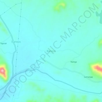
Name: Banora topographic map, elevation, terrain.
Location: Banora, Salumbar Tehsil, Udaipur, Rajasthan, 313027, India (24.13439 74.05085 24.17439 74.09085)
Average elevation: 267 m
Minimum elevation: 239 m
Maximum elevation: 449 m
Thank you for supporting this site ❤️
Make a donation
Make a donation
Gear up for your next adventure:
As an Amazon Associate, this site earns from qualifying purchases at no extra cost to you.