
Fluitenberg topographic map
Interactive map
Click on the map to display elevation.
About this map
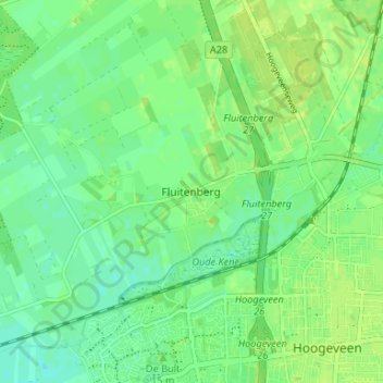
Name: Fluitenberg topographic map, elevation, terrain.
Location: Fluitenberg, Drente, Niederlande, 7931, Niederlande (52.71653 6.43259 52.75653 6.47259)
Average elevation: 11 m
Minimum elevation: 4 m
Maximum elevation: 17 m